Nature
3 min read
Neelakurinji: the flower that blooms once in twelve years
Every twelve years or so the hills around Munnar turn blue. Here is what makes the Neelakurinji one of the most watched flowers in India.
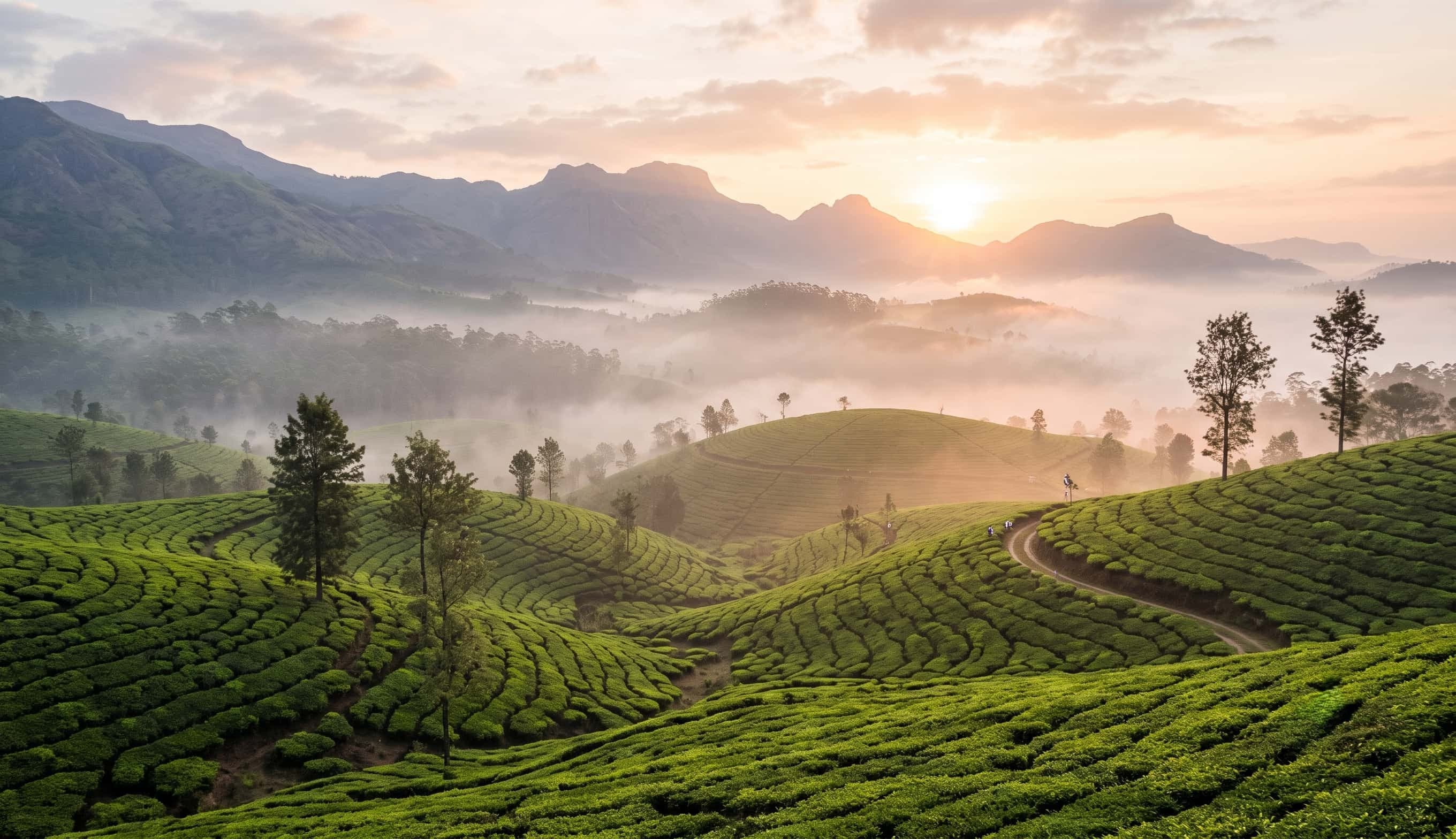
Idukki District · Kerala
History, hospitals, panchayats, roads, crops, rivers, dams and transport: everything about Kerala's spice district, in one place.
The District
Idukki is a high-range district in the Western Ghats of Kerala, known for its misty hills, spice and tea plantations, wildlife sanctuaries and some of India's best-known hydroelectric dams.
It has no coastline and no railway line within its borders. Its towns are connected by winding hill roads, and its identity is shaped by cardamom, pepper, tea and the Periyar river.
Explore the Guide
From dams and highways to panchayats and bus stands, each section is a focused guide you can browse on its own.
Start Here
A landmark, a crop and a museum: three entry points to what makes the district what it is.
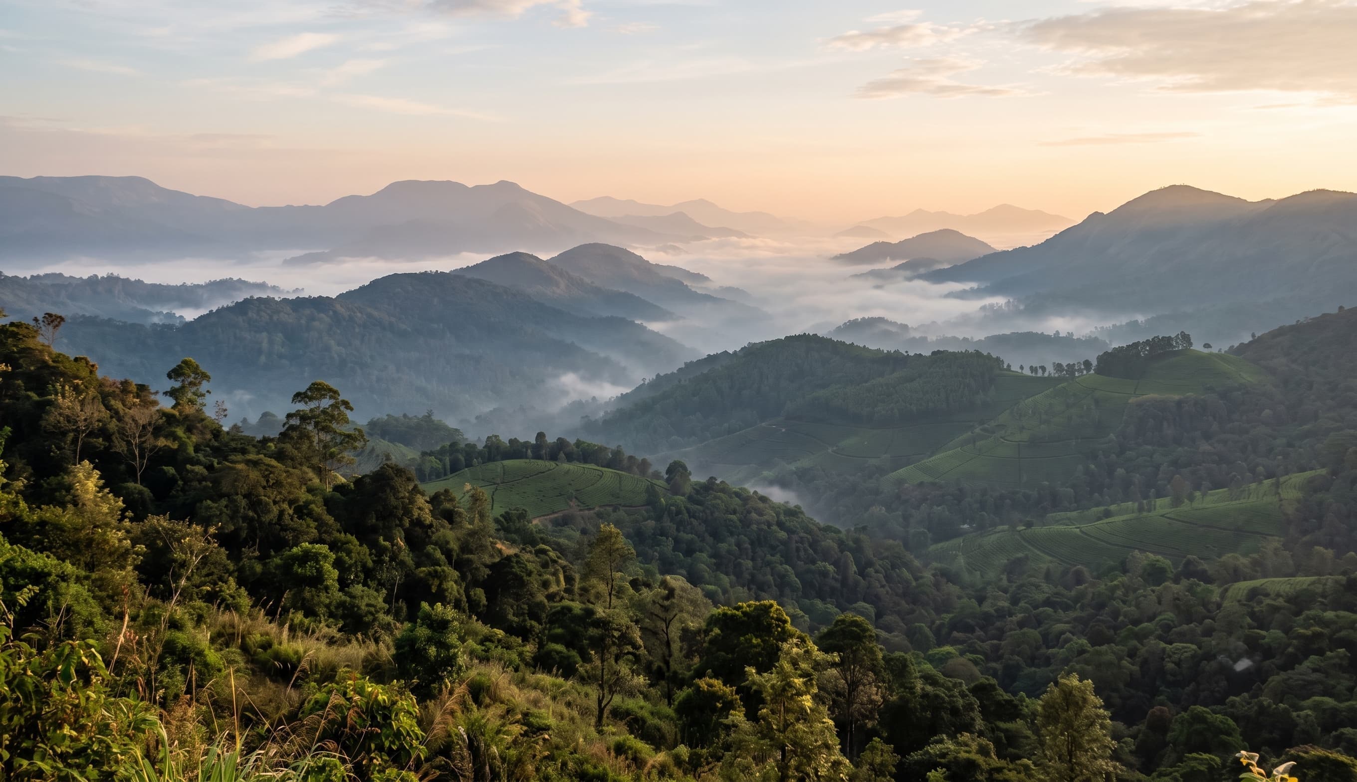
The High Range
Where the Western Ghats rise into mist, and every road leads to spice, water or wilderness.
Idukki District · Kerala
News & Stories
Every twelve years or so the hills around Munnar turn blue. Here is what makes the Neelakurinji one of the most watched flowers in India.
A 169-metre arch between two hills, a reservoir built from three dams, and an underground power station: the story of Idukki's best-known landmark.
Cardamom, pepper and a climate that suits them both: the story behind Idukki's reputation as a spice-growing heartland.